


Advertisements


SATELLITE IMAGE PROCESSING TECHNIQUES
| Price: | US$ 1-12 USD / Piece |
|---|---|
| Minimum Order: | |
| Payment Terms: | TT |
| Port of Export: |
Product Details
| Model No.: | Brand Name: |
|---|
| Certification: | |
|---|---|
| Specification: | Description |
Packaging & Delivery
| Packaging: | |
|---|---|
| Delivery/Lead Time: | |
| Production Capacity: |
Product Description
SATELLITE IMAGE PROCESSING TECHNIQUES
Remote Sensing Satellite Image Processing Features
1
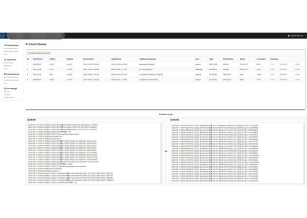
Image processing system is the core of satellite image preprocessing after landing.
2
The system decrypts and decompresses the received original code stream data, completes the analysis and processing of auxiliary data, and then catalogues the data.
changguang Jilin 1 satellite constellation is the core project under construction by CGSTL. The first phase of the project consists of 138 high-performance optical remote sensing satellites covering video, high resolution, wide band, infrared, multispectral and other series. At present, CGSTL has sent 73 Jilin-1 satellite constellation networking remote sensing satellites into the designated orbit through 19 launches (of which, SP04 has been retired on August 31, 2022). Up to now, Jilin-1 satellite constellation has 72 in orbit remote sensing satellites, and has built the world's largest sub meter commercial remote sensing satellite constellation.
|
SUPPLIER PROFILE
|
|||
|---|---|---|---|
| Company: | Chang Guang Satellite Technology Co., Ltd. | ||
| City/State | Changchun, Jilin | Country: |
China 
|
| Business Type: | Export - Manufacturer / Trading Company | Established: | 2014 |
| Member Since: | 2023 | Contact Person | ChangGuangSatellite com |
SUPPLIER PROFILE
City/State/Country -
Changchun, Jilin
China
Business Type -
Export - Manufacturer / Trading Company
Established -
2014
Member Since -
2023
Contact Person -
ChangGuangSatellite com